A strong wind watch is in place for Christchurch and Canterbury Plains with strong south westerly gusts expected to hit the city from midday.
Banks Peninsula is set to bear the brunt of it with thunder and hail expected as the system makes its way to Christchurch this afternoon.
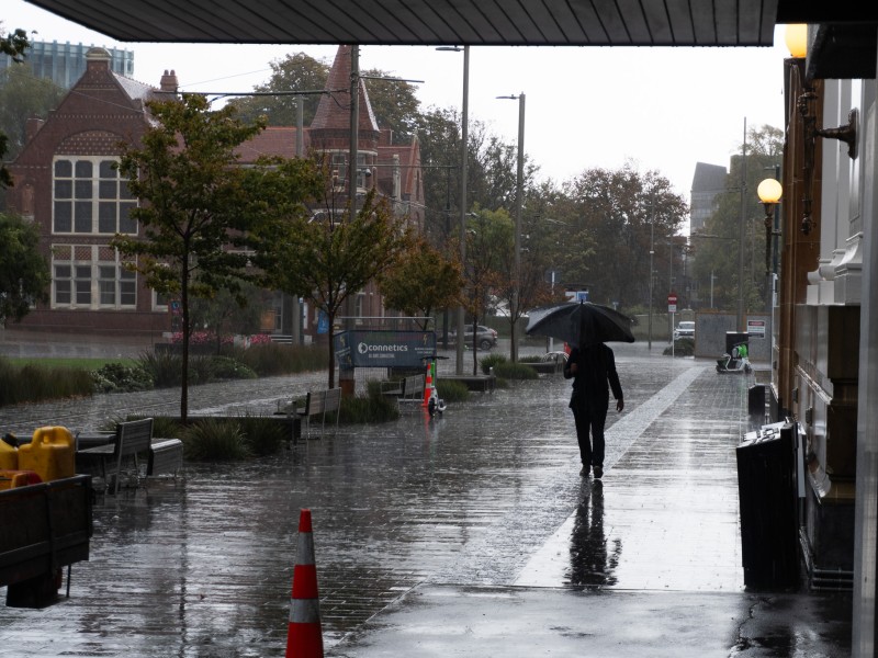
The forecast high of 14C hit the city at 9am and it's only expected to drop as the wind settles in.
However, the rain won't be around for too long as it's expected to ease this evening.
Last night the low-pressure system sitting east of the country brought in a strong westerly wind, expected to drop the temperature to as low at 3 degrees.
According to MetService, exposed areas across Banks Peninsula could see gales as strong as 120km/h with the possibility of it causing damage to trees and powerlines.
Luckily this weather won't be sticking around for too long with warm autumn days forecast for the rest of the week.