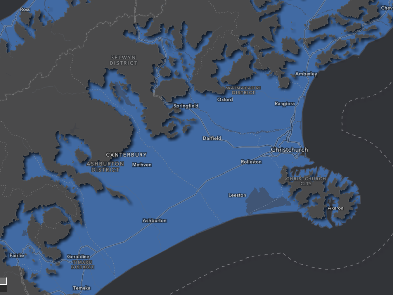
A new map has been released showing areas in Ōtautahi that could be at risk of flooding in the next 10, 50 or 200 years.
Sea level, land development, building projects, rainfall and climate change influenced the map which will help those looking to build or buy property.
The map will also help inform council where to site drains, pumps, and stop banks to make the city less flood prone.
Council mapping of rivers happens every five years, however this was updated following predictions from Earth Sciences NZ last week.
Separate models cover catchments including Avon, Heathcote, and Sumner.
Head of Three Waters Gavin Hutchinson says the mapping is localised and up to date which is important to make informed decisions about building projects.
“Checking our flood map is a great first step, but it doesn’t replace getting site-specific advice about the suitability of the land for any intended purpose."
He says people should still seek advice from other sources.